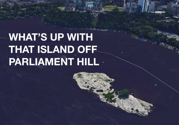
There’s a small, rocky and desolate island in the middle of the Ottawa River opposite Parliament Hill, a haven for seagulls. In fact, the island is nicknamed “Gull Island”, and on modern marine navigational charts it’s called “Hull Island”.

Hundreds of squawking gulls can be heard and seen hovering over this forlorn little island. Situated in a prominent position on the river, this curious island deserves a closer look back at a time when it was a forested, and possibly inhabited island offshore from Canada’s parliament buildings.
GOOGLE IT
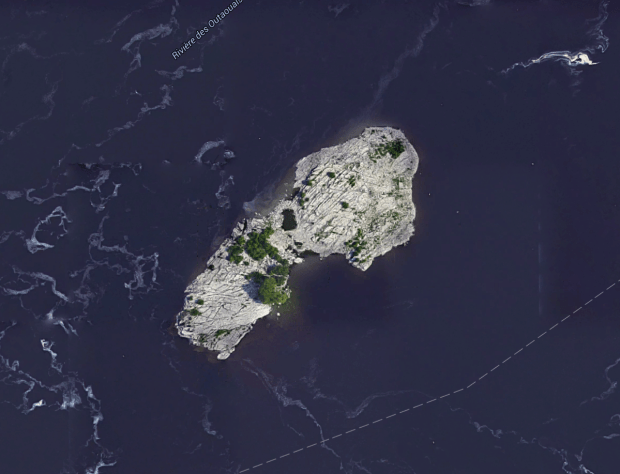
A glance at Google Maps shows our little island as a rocky, and sometimes flooded out piece of land that really isn’t that interesting. Some scraped down limestone rock and some weeds, and that’s about it. But it didn’t always look that way, as the island was once covered in pine trees and research shows it was once called Twin Pine Island. So what happened? Let’s jump in the time machine and check it out.
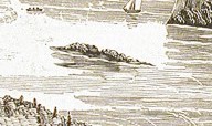
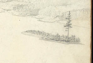
1827: The oldest printed material I could muster up showing the island was in 1827 when an engraving showed the little island with trees on it, a time when most of Ottawa was still wooded wild land.
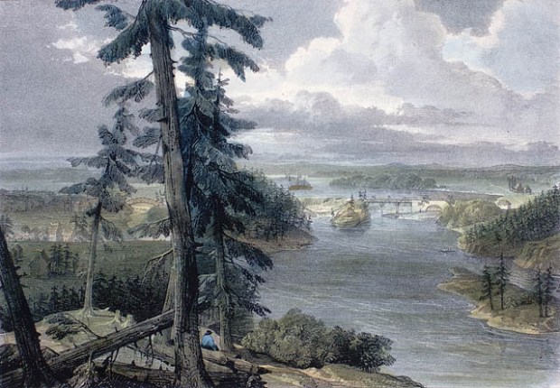
Island on right, circa 1827. (Image Library and Archives Canada)
1831: Another engraving shows the island with some trees and vegetation covering it.
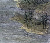
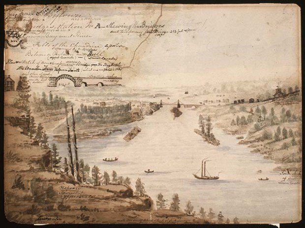
1832: A water-colour painting shows the island with two pine trees on it, this is probably the time that the island got it’s name “Twin Pine Island”
1838: The Island is still showing two pine trees on it.
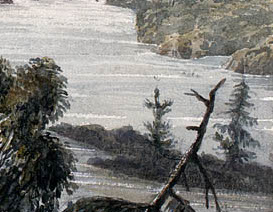
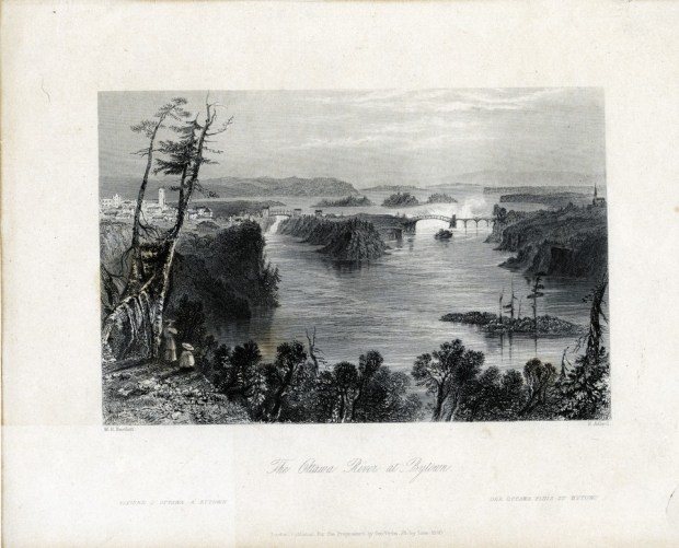
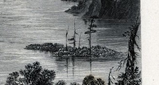
1840: An engraving by the famous Bartlett still shows the island with two pine trees on it and some scrubby brush as well.
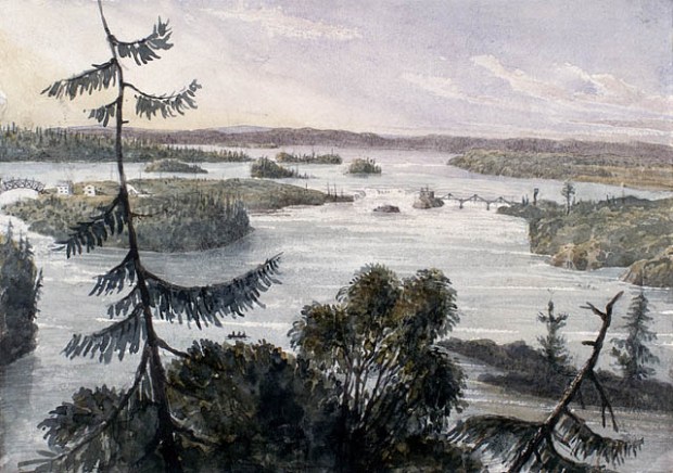
1854: It was sometime around this era that Twin Pine Island became “Lone Pine Island” as one of the pine trees is missing. Perhaps it fell over or was cut down, we are not sure.
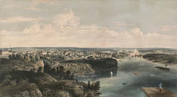
1855: Still no parliament buildings on the hill, but the rocky outcrop still looks down on the little island, which still shows a lone pine tree on it. Note the massive timber raft!
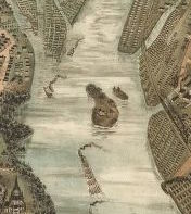
1895: Hang on! What?! This map of Ottawa and the island shows not only trees on it, but what looks to be a house or building! A true waterfront cottage with an easy downtown commute.
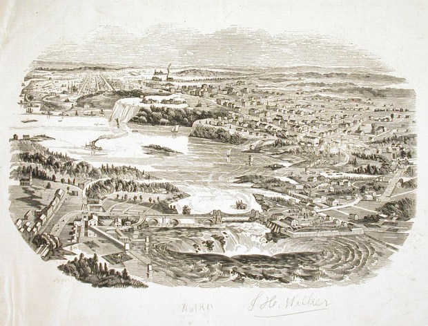
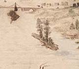
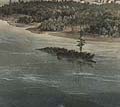
1910: By 1910 the island looks to be completely cleared of all trees and everything else.
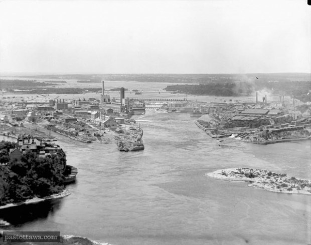
Island on right. (Image Past.Ottawa.com)
1955: The Chaudiere Falls have are dammed by this point, and so the island looks to get the brunt of the dam wash-water flooding it, a sight we still see today.
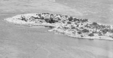
PRESENT DAY: The island is now just a flooded out, barren rock with nothing much on it save for the seagulls that use it as their perch to digest stolen fries from downtown chip trucks.
So there you have it, a complete and concise pictorial history of that island across from Parliament Hill you may have been wondering about. It seems to have gone from a forested island of pines, to two pines, to a lone pine to nothing at all over the course of 180 years. Maybe some developer will make it the latest waterfront condo, a trendy new place called “Hull or High-water”.
Andrew King, April 2018
SOURCES
Google Maps
GeoOttawa
Library and Archives Ottawa
PastOttawa.com

Hi Andrew, Loved your article. Nice flow to it, the humour is just the right touch. Interesting article. Mom xx
Sent from my iPhone
>
This is also a great place to have a camp fire and party in the Fall, which I have done now for several years. One year, I invited Slo’ Tom to sing and play guitar for us as we enjoyed the fire and ate a potluck. There are a number of wild tomato plants, a big beaver, and four bolts at the upriver end where something was mounted, perhaps a flag pole in the old days.
Thanks for the research into this island. I have another island perhaps you can look into. On google maps it is identified, as Lumpy Denommee’s Island. It is located near Lemieux Island and Merrill Island in the middle of the river. I know those islands were used for logging channels, but is this a google maps fabrication, or named after some crazy logger? I have sent to City of Ottawa Heritage Department an inquiry.