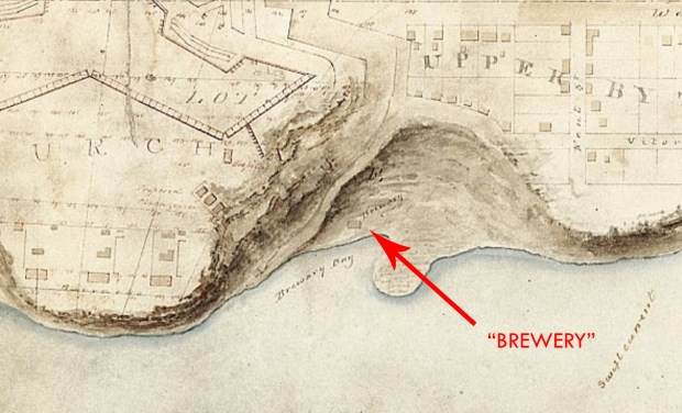
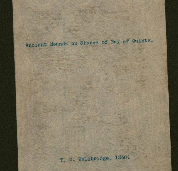
Prince Edward County, my stomping grounds since I was a kid and the home of my parents, is a magical place filled with amazing scenery and natural wonders. Endless sand dunes, the limitless horizon of the water, and a fascinating history have always made it a wonderful spot for adventure. I’ve been on many in that area, (see previous posts) but one story that always sticks with me are the ancient burial mounds studied by Thomas Wallbridge in 1860. Acquiring a copy of Wallbridge’s 1860 archeological report on his findings of odd stone “mounds” in “The Canadian Journal Of Industry, Science and Art- 1860″ , Wallbridge notes that before the native Iroquois that once roamed the region, there were “traces of a more ancient race”.
WHAT?
The fascinating entry in the journal remarks on how an unknown “race” had erected works in Prince Edward County unnoticed, which became the subject of the first documented archaeological report in Ontario. Wallbridge noted that 100 mounds existed in Prince Edward County, and they occurred in groups of two on the shores of water. Upon excavating one of the mounds Wallbridge discovered a limestone box made up of flat stones, where skeletons were found sitting in an upright position with folded arms.

Wallbridge’s sketches of the ancient mounds in Prince Edward County.
The mounds mostly comprise of stone, metamorphic granite that is not typically found in that area. This means the builders would have had to carry the stones from afar to construct these unexplained mounds.
Wallbridge concludes his report by saying “Whatever be the origin of these remains, it is clear that the Massassaga Indians were not the builders of the works which they are entombed, since this tribe, it is well known, buried their dead in wrapped birch bark, and laid them at full length a few inches beneath the surface of the soil,” Wallbridge is perplexed at the whole series of mounds, and insists “the skeletons found in the sitting posture belong to some other and far earlier race.”

Some of the items found by Wallbridge inside the mysterious mounds of PEC.
Now we must remember that archaeology was still a rather new field of study at the time of Wallbridge, so proper knowledge of former occupation and indigenous history were naively unknown. But what is most interesting is a more recent study of the mounds that throw a new light on an old mystery.
COOKING MOUNDS?
A more recent study of the mounds was done by a fellow by the name of Beauchamp in 1905 and reversed what was thought earlier about the ancient mounds being for burial purposes and was inclined to believe that the burials Wallbridge found were “intrusive” (dug into it later, not the original) and of no “high antiquity”.
An article from 2001 in Ontario Archeology (number 72, 2001) by David A. Robertson suggests that studies have “failed to reach a consensus as to their function.” It was observed that the mounds comprised of “burnt rocks” which indicated they were under the influence of fire and heat.
Robertson then details similarities of the PEC mounds to burned rock middens in Texas and in Ireland where they are known as fulachata fiadh (“outdoor” or “wild cooking places”). Similar features can be found in ancient mounds in the Orkneys, and regions of Atlantic Europe. These mounds would almost always be found near marshy areas where a hole dug into the ground would quickly fill with water. These stone enclosures were filled with water and heated stones thrown in to create a pool of boiling water in which meat was cooked, or used for bathing, washing and dyeing of cloth, and leather working.
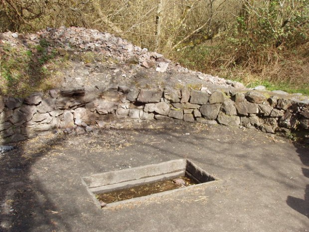
An ancient Irish burnt mound, or fulachata fiadh, excavated. (image: Wikipedia)
The ancient Irish mounds date from Early Bronze Age (2,300-1,700 B.C.) with the majority dating to the second millennium B.C. with various explanations as to their use ranging from cooking ovens to wool production.
Robertson outlines the lack of study of the Prince Edward County mounds, and states:
“It is clear that the Quinte and Perch Lake burnt stone mounds bear close similarities with sites found in Texas and Atlantic Europe and undoubtedly elsewhere: namely the massive quantities of shattered, burnt rock enclosing a small area, the presence of hearths, deposits of ash and charcoal-rich soil, and a general dearth of associated artifacts. Some other parallels with the burnt mounds of Ireland and Britain are even more striking, although these must remain only subjective impressions until further research is devoted..”
Both mound structures are situated in marshy areas, and both have slab stoned chambers in the centre. Robertson also mentions that these ancient mounds could have been used as food processing centres, for boiling fats and preserving foods.
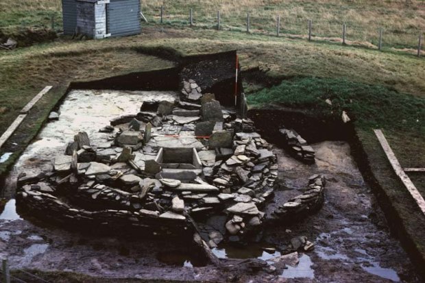
An excavated Scottish burnt mound, with similar characteristics to the mounds of PEC. (image:Scottish Archaeological Research Framework)
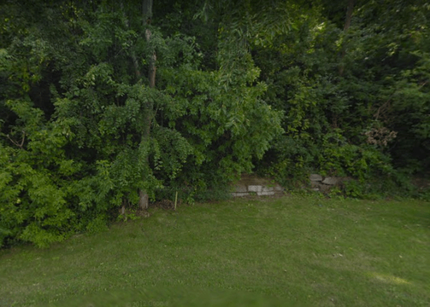
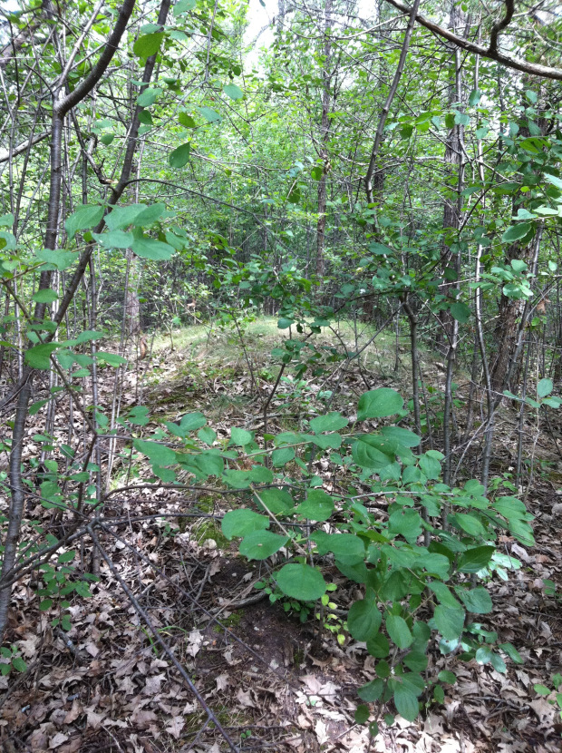
Curious to view these mounds that lie within a short distance of my family’s home, I visited the Prince Edward County site Wallbridge mentions to see for myself what characteristics they may have to give up some possible clues as to their purpose.
Mapping out where the mounds may be located, I indeed came across some of the unusual mounds and recorded my finds. They are situated in close proximity to the shore of Lake Ontario facing east in groups of two with a huge marshy area surrounding the area. The mounds are about 20-ft in diameter and are about 8ft in height. The pair of mounds with their centre points connected with a line align to the rising sun in the east.

An un-excavated mound in Prince Edward County.
There is an palpable aura to the whole area, a stillness and a sense of energy that defies explanation. If I was to speculate, these mounds were used for a ceremonial purpose, either for a fire ceremony or a celestial event.
Other theories for their use include indigenous sweat lodges, houses, and the commonly accepted burial rituals. Only one thing is certain, no one seems to know exactly what these ancient stone mounds were made for, and until we look into it further, their real purpose and the confirmed identity of their builders may never be known.
Andrew King, January 2018
SOURCES
Click to access oa_72_part_04.pdf
Mounds of Sacred Earth, W.A. Kenyon. – https://archive.org/details/moundsofsacredea00keny
https://babel.hathitrust.org/cgi/pt?id=hvd.32044081032310
https://en.wikipedia.org/wiki/Fulacht_fiadh